Why marine data collection is shifting toward robots
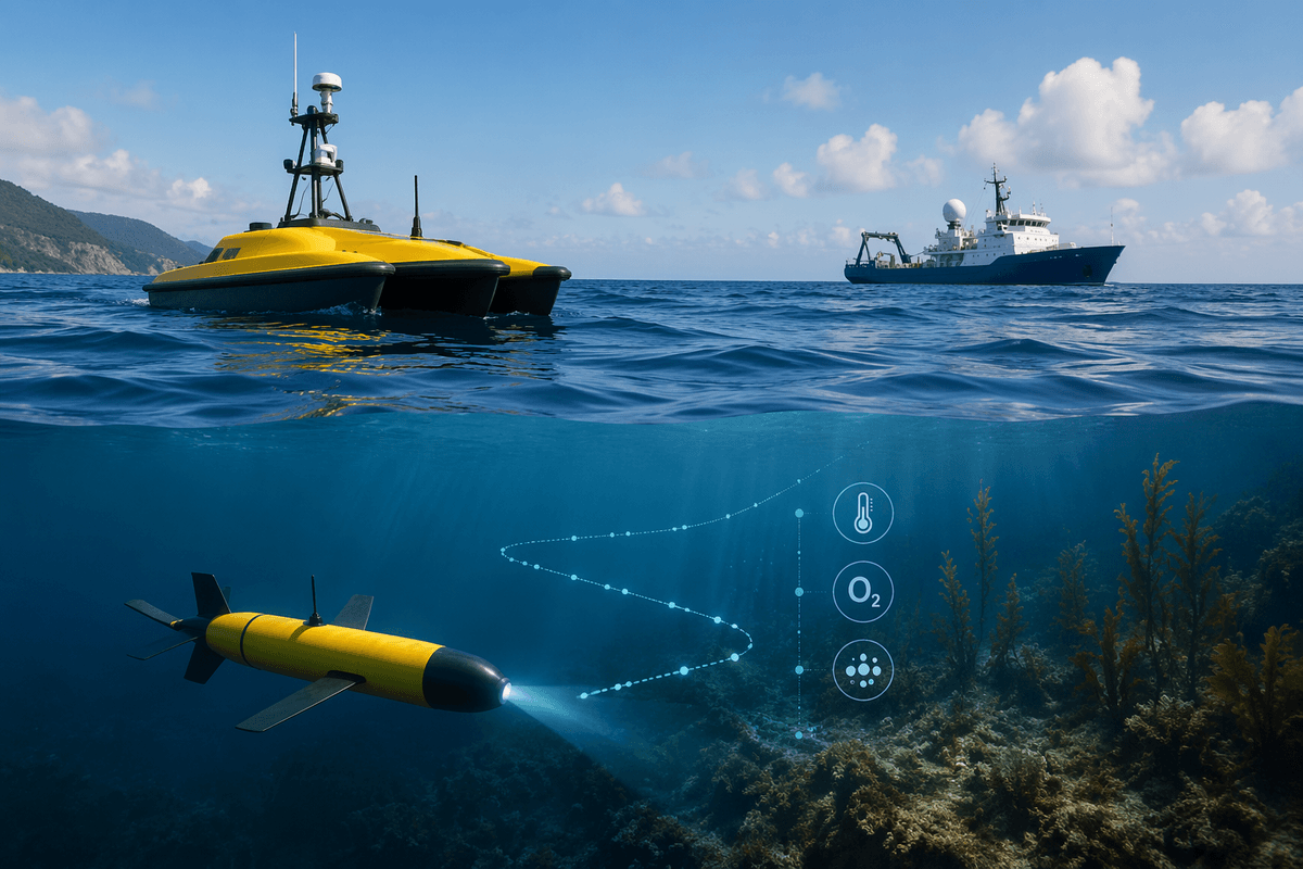
Many ocean programs still rely on ships, fixed buoys, and occasional diver surveys, but those tools leave large gaps in time and space. Ship days are expensive and weather-limited, moorings measure only one point, and satellites often can’t “see” below the surface or through clouds and coastal turbidity. Robots fill in the middle ground by collecting in-water measurements more often and across wider areas, without needing a full vessel on site every day.
The shift is also practical. Small autonomous surface vehicles and underwater gliders can run repeat transects for weeks, and ROVs can inspect habitats or infrastructure with precise video where nets and grabs are too destructive. The robots add new failure modes: batteries cap endurance, sensors foul, navigation drifts, and underwater communications are slow. The result is not “ships replaced,” but smarter mixing—using robots for routine coverage and ships for heavy payloads, calibration, and complex interventions.
Start with the mission: what data, where, and how often
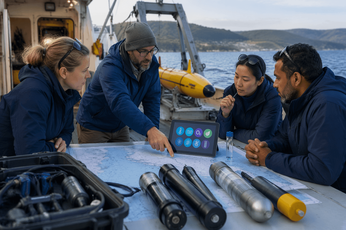
A common planning mistake is shopping for a robot before being clear about the measurement. “Water quality” can mean temperature and salinity profiles, dissolved oxygen near the seabed, chlorophyll at the surface, turbidity in an estuary after storms, or eDNA samples for a rare species. Each of those pushes you toward different sensors, sampling rates, and maintenance needs, and some (like eDNA) still require physical handling that limits true autonomy.
Location and depth matter just as much. A rocky kelp forest, a busy shipping lane, and a deep offshore canyon impose different risks for navigation, entanglement, and recovery. Frequency is the final lever: are you trying to catch short-lived events (hours to days), track seasonal shifts, or build a long baseline? High-frequency sampling produces better event detection but increases power draw, data volume, and the number of times you must clean sensors and retrieve systems.
A useful rule is to write the mission in one sentence: variable, depth range, area, and revisit interval. If you can’t state it plainly, the platform choice will be guesswork, and costs will surface late—often as extra ship time, more deployments, or data that can’t answer the original question.
Picking a platform: AUVs, ROVs, ASVs, and drones
The platform choice usually comes down to whether you need persistence, control, or access. Underwater gliders trade speed for endurance: they can profile temperature, salinity, oxygen, and optics for weeks to months, making them strong for baselines and seasonal change, but they struggle with fast events, strong currents, and “point-and-shoot” targets. Powered AUVs move faster and can fly consistent altitude over the seafloor for mapping, acoustics, or habitat transects, yet their missions are shorter and riskier because a small navigation error can become a missed recovery.
ROVs sit at the opposite end of the autonomy spectrum. They are ideal when you need precise video, manipulation, or sampling at a specific site, but they require a tether, an operator team, and usually a support vessel, which can erase the cost advantage. Surface platforms—ASVs and small surface drones—are often the simplest way to hold a line or repeat a transect while using GPS, solar, and high-bandwidth communications. They can also act as a relay for underwater systems, but they are exposed to waves, collisions, theft, and permitting constraints in busy coastal waters.
A practical filter is to match the platform to the hardest part of your mission: long duration favors gliders or ASVs, high-resolution seabed mapping favors AUVs, and “must-see-and-touch” work favors ROVs—even when the logistics are heavier.
Sensors and payloads: data quality is won or lost here
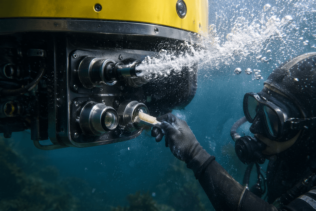
A familiar failure pattern is buying a capable robot and then discovering the sensor suite can’t meet the decision you need to make. For many conservation and management questions, a modest CTD (conductivity, temperature, depth) plus dissolved oxygen may be enough, but optics (chlorophyll, turbidity, backscatter) are more sensitive to biofouling and require frequent cleaning and careful placement to avoid bubbles or wake effects. Acoustic payloads—single-beam or multibeam sonar, ADCPs, passive recorders—can deliver powerful habitat and animal-use signals, yet they raise power draw, data volume, and sometimes permitting or stakeholder concerns about sound in the water.
Payload choices also set operational constraints. Sampling faster or running active acoustics shortens endurance; adding cameras or lights can overwhelm storage and complicate interpretation when visibility shifts. Many sensors need calibration checks against ship casts, lab standards, or co-located moorings, and drift can be subtle enough to pass “sanity checks” while still biasing trends. The most useful question to ask vendors and partners is not “What sensors fit?” but “What accuracy, stability, and maintenance schedule have you actually achieved in similar waters?”
Operations reality: launches, navigation, comms, and recovery
The small robot can look “easy” until you account for getting it in and out of the water repeatedly. Launch and recovery often drive the real schedule: surf zones, docks with limited access, and short weather windows can force conservative go/no-go calls. Even a light AUV may need a crane or A-frame on a small vessel, while gliders and small ASVs can be handled by a couple of people but still demand clear procedures to avoid damage, injury, or losing the system in waves.
Navigation is the next constraint. Surface vehicles can rely on GPS most of the time, but underwater platforms must dead-reckon between fixes, using compasses, depth sensors, and often acoustic aids. In strong currents or near steep bathymetry, small errors compound into missed transects or a recovery box that’s miles off. That is why many projects budget for acoustic beacons, periodic surfacing, or a chase boat even when the mission is “autonomous.”
Communications shape what you can change mid-mission. Underwater acoustics carry short messages slowly and unreliably; high-volume data usually arrives only after recovery. Satellite links help gliders and ASVs phone home, but they cost money and power, and antennas fail. Recovery plans also need a failure mode: what happens if the robot surfaces without GPS, can’t transmit, or drifts toward shipping lanes.
From raw streams to usable products: pipelines and standards
A typical robotic mission produces multiple time-stamped streams—navigation, depth, CTD, oxygen, optics, acoustics—that rarely line up cleanly on the first download. Before any “map” or “trend” is credible, teams usually apply sensor calibrations, correct clock drift, remove obvious spikes, and flag periods affected by biofouling, bubbles, or vehicle maneuvers. Navigation has to be reconciled too: an AUV track may need smoothing or acoustic fixes; a glider profile needs careful treatment of where each sample actually occurred in space.
The biggest jump in usability comes from standardizing early. Converting to common formats (often netCDF with CF conventions), using consistent variable names and units, and writing complete metadata (platform, sensor serial numbers, calibration dates, processing steps) makes data shareable and reproducible across partners. That work is not free: quality control takes staff time, storage costs grow quickly for video and sonar, and “quick-look” plots can hide subtle bias unless you compare against ship casts, moorings, or reference standards.
Budget, permissions, and safety: the hidden gatekeepers
The common surprise is that the robot day-rate is not the real budget driver. You often pay for vessel support during launch and recovery, spare parts, extra batteries, sensor calibration, insurance, and data handling time. Acoustic beacons, satellite airtime, and replacement sensors for fouling or flood damage can turn a “low-cost” plan into a ship-adjacent expense. Contracting can reduce staff burden, but it shifts costs into mobilization fees and weather delays you still pay for.
Permissions can be equally gating. Protected areas may require research permits; ports and navigation authorities may restrict surface vehicles in traffic lanes; and some acoustic sources or animal-tag detection work triggers additional review. Safety planning is not paperwork theater: you need collision-avoidance procedures for ASVs, entanglement risk checks near fishing gear, and an explicit “lost vehicle” response that includes contacts, drift forecasts, and retrieval authority. These constraints don’t kill projects, but they do set the feasible mission envelope.
A practical path to adoption: pilot small, then scale
A practical adoption path is to start with one measurable decision and one environment you can control. Pick a short mission that answers a real management or research question—like weekly hypoxia profiles along a known transect—then run it long enough to expose routine problems: fouling, battery fade, missed recoveries, and data gaps from comms dropouts. Treat the first cycle as buying risk reduction, not just data.
Scale by adding complexity one dimension at a time: longer duration, wider area, or a heavier payload, but not all three at once. Lock in a maintenance cadence, spares, and a data pipeline before expanding, because those are the pieces that break budgets. When results must hold up in public or regulatory settings, keep an overlap period with ship casts, moorings, or lab samples so trend changes aren’t mistaken for sensor drift.